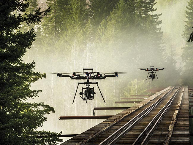
Building on its success in filmmaking, drone-based imaging is winging its way into new application sectors, from infrastructure inspection to agriculture.
HANK HOGAN, CONTRIBUTING EDITOR
 Initially swooping in to provide aerial shots in big-budget movies, UAVs — or drones, in consumer parlance — are now bringing aerial cinematography technology to other applications. Drone-mounted imagers are helping to inspect infrastructure, monitor crops, and conduct search and rescue operations. They could eventually deliver vital goods. As demand grows for these high-flying imaging platforms, the technology is evolving to allow drones to perform finer maneuvers, capture higher-quality images, and stay airborne longer.
Once reliant on helicopters and airplanes, aerial cinematography became more practical as filmmakers began to mount high-end cameras on custom-built drones with the goal of cutting costs. But the real value of this innovation has only begun to emerge as end users in other fields contemplate the potential roles that drone-based imaging technology could play.
Member Exclusive: To read the complete article, please Login or Register